As floating lidar takes on the challenge of measuring offshore turbulence, researchers are finding new ways to turn platform motion into useful information. A novel processing method could reveal a more complete picture of atmospheric turbulence, and provide the industry with more accurate measurements.
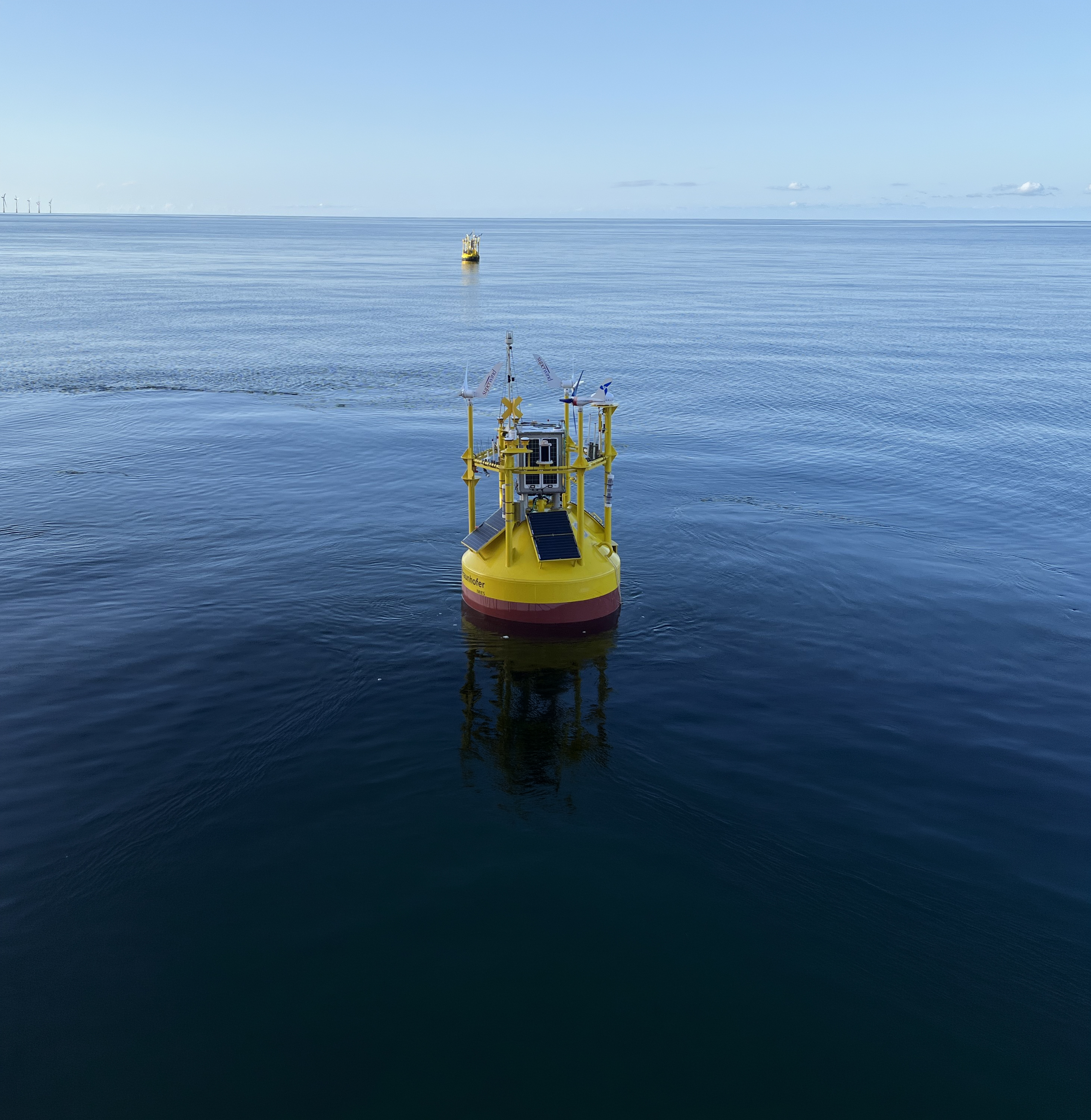
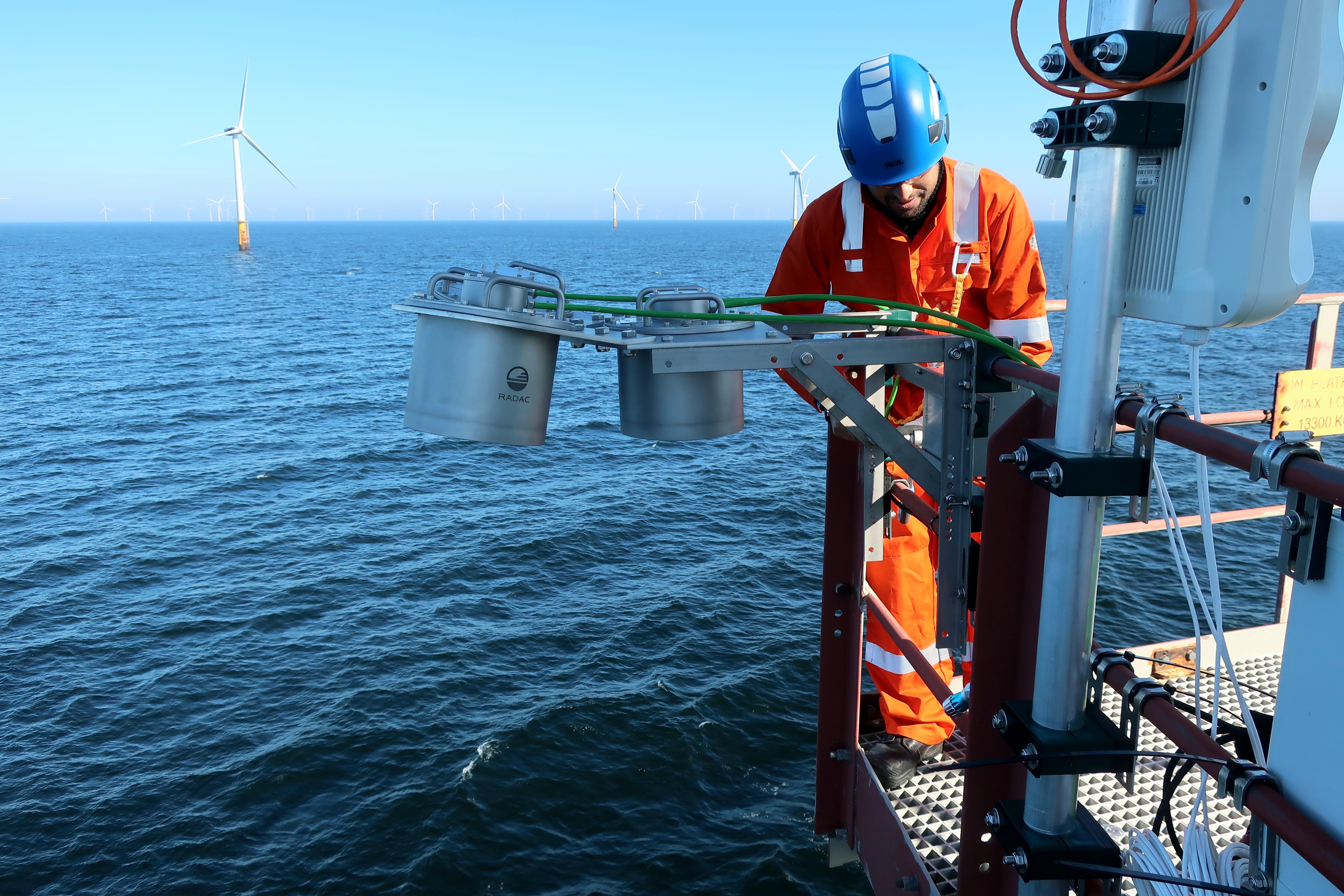
The 2025 Offshore Wind Accelerator (OWA) Roadmap 1 extends the established maturity framework for floating lidar systems (FLS) to include turbulence intensity (TI). The Fraunhofer IWES Wind Lidar Buoy has become the first FLS to achieve Stage 3+ under this framework.
While this milestone concerns the demonstrated performance of the complete measurement system, research into new processing methods is also expanding the turbulence information that floating lidar can provide.
From wind resource to a more complete site assessment
Over the past decade, floating lidar systems have changed offshore wind resource assessment. Rather than constructing an expensive fixed offshore meteorological mast, wind farm developers can install a vertically profiling lidar on an autonomous floating platform and deploy it at a prospective wind farm site.
Fraunhofer IWES has accompanied this development since its early stages. A first prototype of the Fraunhofer IWES Wind Lidar Buoy was tested alongside the FINO1 offshore meteorological mast in the German North Sea in 2013, and the technology has since been used in commercial and research campaigns in Germany and internationally.
Download full article